Suitable Conditions for Cyclone Formation Over Bay of Bengal, Odisha on Alert
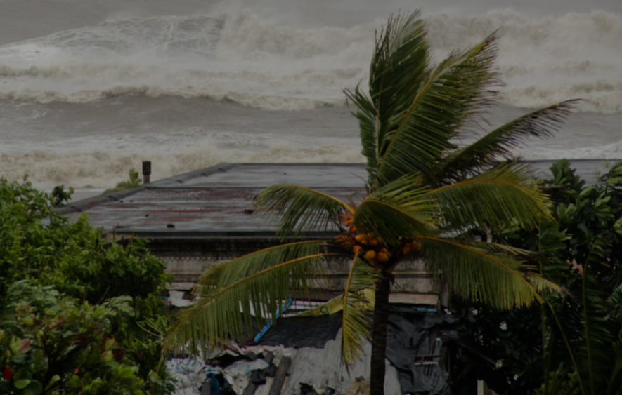
Image Courtesy: Flickr
The Indian Met Department (IMD) has issued a warning about a potential cyclonic storm forming in the Bay of Bengal (BOB) starting May 6. In the month of May, the BOB (Bay of Bengal) usually brings in several tropical storms, with some causing widespread damages and losses. The IMD has predicted such an event again.
According to an IMD release on May 3, the sea conditions are conducive to forming cyclonic circulation, which may further develop into a severe storm. It has provided a sequence of events that are likely to develop.
The release says that by May 6, a cyclonic circulation will likely develop over the southeast BOB. Continuing with the condition, the next day, on May 7, a low-pressure area will likely develop over the same region, which may become a depression in the southeast BOB by the next day, May 8. After that, the sea conditions are likely to further intensify and move northwards towards the central part of the BOB.
However, the IMD alerts that the sea conditions are very favourable for cyclogenesis, meaning that the low pressure can strengthen and end up forming a cyclone. The IMD says in its release that the low pressure over southeast BOB on May 7 can intensify into a severe cyclonic storm by May 9 over the same region. It then will move north-northeastward towards central and east BOB till May 12. The IMD predictions are based on the IMD- GFS (global Forecast System) model.
The TCHP (Tropical Cyclone Heat Potential), as told by IMD, is as high as 100 Kilojoules per centimetre square over major parts of the South Andaman Sea as well as the adjoining southeast BOB and central BOB. The TCHP is a parameter that can indicate how much intensity a tropical cyclone possesses. It denotes the heat in the ocean (upper part), which is available as a source of energy for storms. A TCHP above 100 KJ/Cm2 may be a high value, suggesting an intensified storm.
However, the TCHP is showing a decreasing tendency of about 60-70 KJ/Cm2 along the east coast of India and along the Myanmar coast, the IMD says. The sea surface temperature is around 30-32 degreea Celsius over the entire BOB.
Other models like the ECMWF (European Centre for Medium-Range Weather Forecast) suggests a low-pressure area forming on May 8, further developing into a depression by May 10 and forming a cyclonic storm by the next day.
However, all the models are predicting a northward movement of the storm, as told by the IMD, which means it travels towards Indian coastlines. If the entire sea conditions lead to the formation of a cyclonic storm, it would be named cyclone ‘Mocha’.
Notably, in meteorological predictions, scientists use several models to track the genesis of a storm and its course of movement, only to accurately predict where and when it will make landfall.
The present cyclonic system is being tracked by the IMD in India and exact predictions and exact locations of landfall in the country has not been predicted yet. In future, we will come to know the location and timing of landfall.
However, in Odisha, the state government is preparing to take precautionary measures on time to minimise losses. The Odisha CM held a high-level meeting yesterday and urged the administration to be ready well in advance.
Get the latest reports & analysis with people's perspective on Protests, movements & deep analytical videos, discussions of the current affairs in your Telegram app. Subscribe to NewsClick's Telegram channel & get Real-Time updates on stories, as they get published on our website.